The trail map
The trail passes through: Sondrio - Morbegno - Colico
Map and altitude:Full screen map
Scroll the altimetry to see the point on the map.


Trail details
| Distance | |
| Total distance: | 42,98 km |
| Distance of Climbing: | 9,07 km |
| Distance of Descent: | 14,87 km |
| Distance of Flat: | 19,03 km |
| Elevation Change | |
| Min elevation: | 199 m |
| Max elevation: | 290 m |
| Total ascent: | 166 m |
| Total descent: | 0 m |
Scan the QR code with your smartphone and bring the data of this trail with you.

Trail description
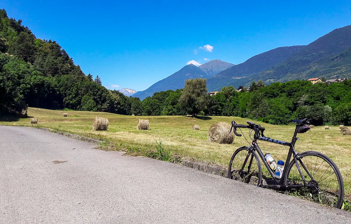
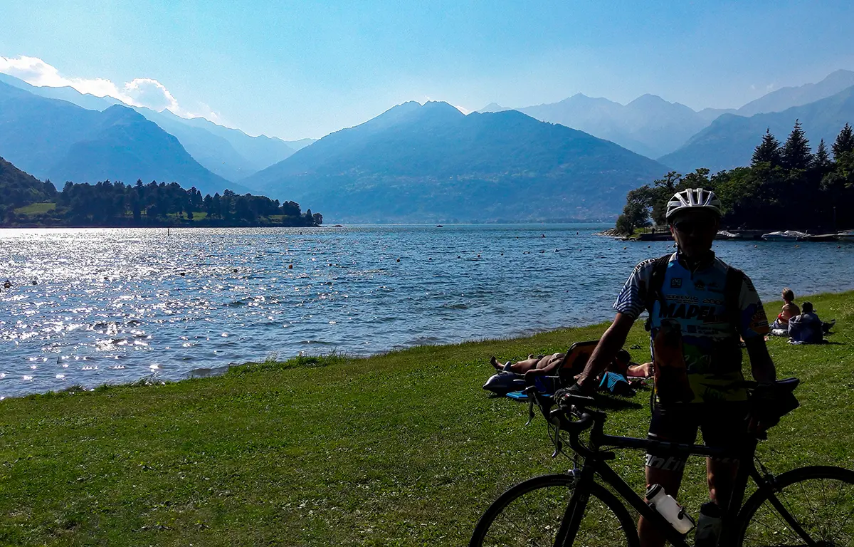
The Sentiero Valtellina is the cycle path that leads from Bormio to Lake Como (Colico).
This is the description of the third section, which from Sondrio leads to Colico, on Lake Como.
A simple cycle-pedestrian path that takes you to the shores of Lake Como without obligation. The panoramas and landscape glimpses are not to be missed.
You go along an almost completely paved road, dedicated to bicycles and pedestrians, passing next to the Adda river, orchards and small villages.
WARNING: in the area around Morbegno there could be detours due to construction work.
This trail has been viewed 7943 times.