The Gavia Pass by bicycle
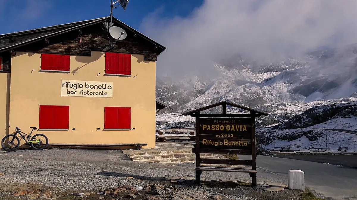
The Gavia Pass has an altitude 2.621 s.l.m. and connects - only during the summer season - the province of Sondrio with that of Brescia.
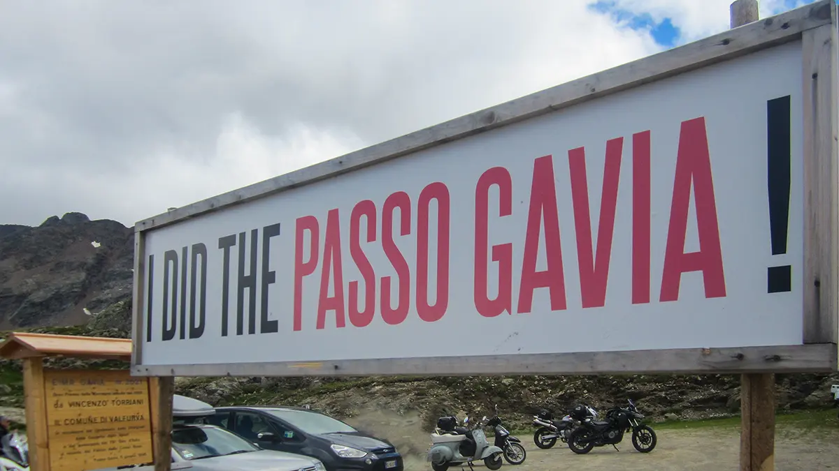
With a narrow road and little car traffic, the Gavia Pass is one of the highest Alpine passes and for this reason it is a destination for cyclists and motorcyclists from all over Europe. It has been traveled several times by the caravan of the Giro d'Italia, since it was discovered in 1960 by Vincenzo Torriani.
With the racing bicycle, there are two alternatives to reach the pass: from the Valtellina side, starting from Bormio and from the Brescia side, starting from Ponte di Legno.
Ascent by bike to Passo Gavia from Bormio.
The ascent by bike to Passo del Gavia, from the Valtellina side, starts from Bormio (1220 m a.s.l.) and climbs for a good 26 km with very challenging stretches.
The climb to Passo del Gavia is very particular, as it includes an infinite series of simple and pedalable sections with very demanding sections, with a long slight slope in the last 3 km.
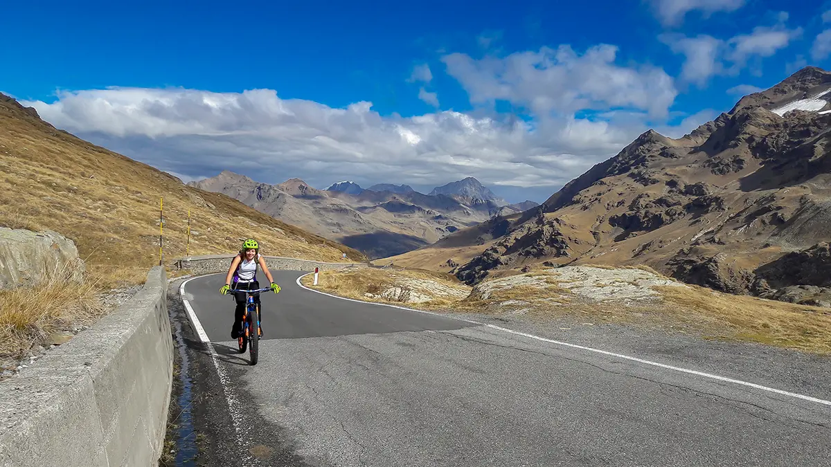
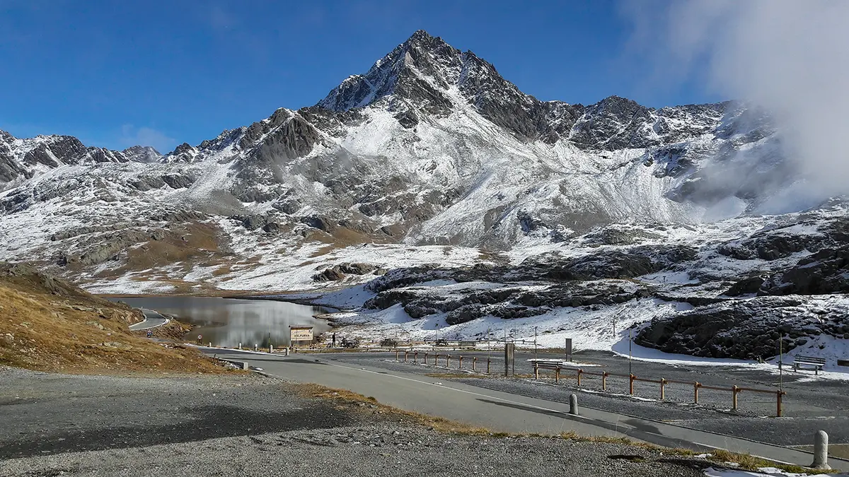
It starts from Bormio and heads towards Santa Caterina Valfurva, on a wide road with two stretches with a significant slope. After that the road narrows and you face a series of switchbacks. There are easy stretches, where you can catch your breath and enjoy the view, interspersed with challenging stretches with steep slopes. The finish is simple, but you can only glimpse the top a few hundred meters away, alongside the lake.
The average gradient of the climb is 6.5% and the maximum gradient is 14% for a height difference of about 1400 m.
In detail:
- Length: 25.1 km
- Starting altitude: 1216 m
- Arrival altitude: 2622 m
- Elevation gain: 1464m
- Slope: 6.5% average (max 14%)
Map, detailed information and gps file of the ascent to Gavia Pass from Bormio.
Ascent to Passo Gavia from Ponte di Legno.
The Brescia side is the hardest. The departure is from Ponte di Legno (1240 m a.s.l.) and climbs for 18 km.
It's easy at the start, with a wide road on a slight slope up to the village of Santa Apollonia. From that point the real climb begins, with the road narrowing dramatically and the slopes becoming steeper.
After a long series of switchbacks, you enter the valley and find a tunnel - dimly lit and uphill - where you must be very careful. Then there are the last 3 km with very demanding slopes and a bumpy road surface, but we begin to glimpse the top.
The road that leads to Passo Gavia does not have sections with grueling slopes like the Mortirolo, but the length and constant slope make it a very demanding climb to be tackled on the saddle of a road bicycle.
The average gradient of the climb is 7.9% and the maximum gradient is 12% for a height difference of about 1380 m.
In detail:
- Length: 17.83 km
- Starting altitude: 2603 m
- Arrival altitude: 2496 m
- Elevation gain: 1343m
- Slope: 7.9% average (max 12%)
Map, detailed information and gps file of the ascent to Gavia Pass from Ponte di Legno.
More information
How long does it take to climb Passo Gavia by bike?
It depends a lot on the slope and the degree of training.
From Bormio you can go up in a time that varies from 1 hour and a half to 2 hours and a half.
From the Ponte side, you can climb it in a time that varies from 1 hour and 45 to 3 hours.
How much does the pass open and close?
The Gavia pass generally opens not before mid-May and closes in October with the first cold weather.
During the summer season, the pass may be closed due to bad weather.
How many bends are there on the Gavia?
From the Bormio side there are 10 hairpin bends, while from the Ponte di Legno side there are 16 hairpin bends.