The trail map
The trail passes through: Bormio - Cepina - Le Prese - Sondalo - Grosio - Grosotto - Lovero - Tirano
Map and altitude:Full screen map
Scroll the altimetry to see the point on the map.
Trail description
The Sentiero Valtellina is the cycle path that leads from Bormio to Lake Como (Colico).
This is the description of the first section, which leads from Bormio to Tirano.
Very simple and pleasant, this stretch is a slight slide towards the bottom of the Tirano valley.
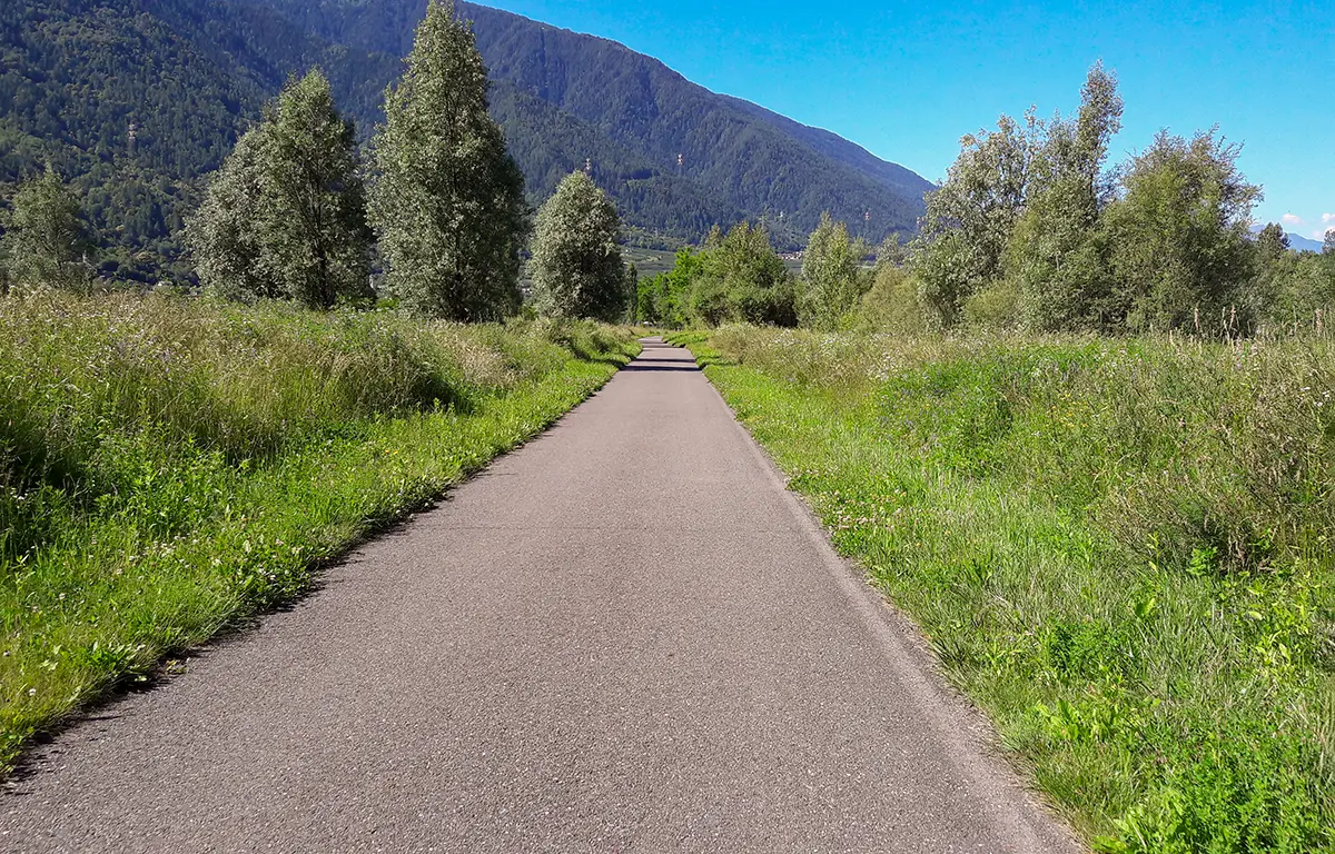
You take a paved road, completely dedicated to bicycles and pedestrians, passing by castles, orchards and vineyards.
This trail has been viewed 7234 times.
