The trail map
The trail passes through: Bormio - Grosio - Eita - Grosio - Bormio
Map and altitude:Full screen map
Scroll the altimetry to see the point on the map.


Trail details
| Distance | |
| Total distance: | 78,11 km |
| Distance of Climbing: | 32,9 km |
| Distance of Descent: | 32,56 km |
| Distance of Flat: | 12,66 km |
| Elevation Change | |
| Min elevation: | 665 m |
| Max elevation: | 1690 m |
| Total ascent: | 1678 m |
| Total descent: | 1688 m |
Scan the QR code with your smartphone and bring the data of this trail with you.

Trail description
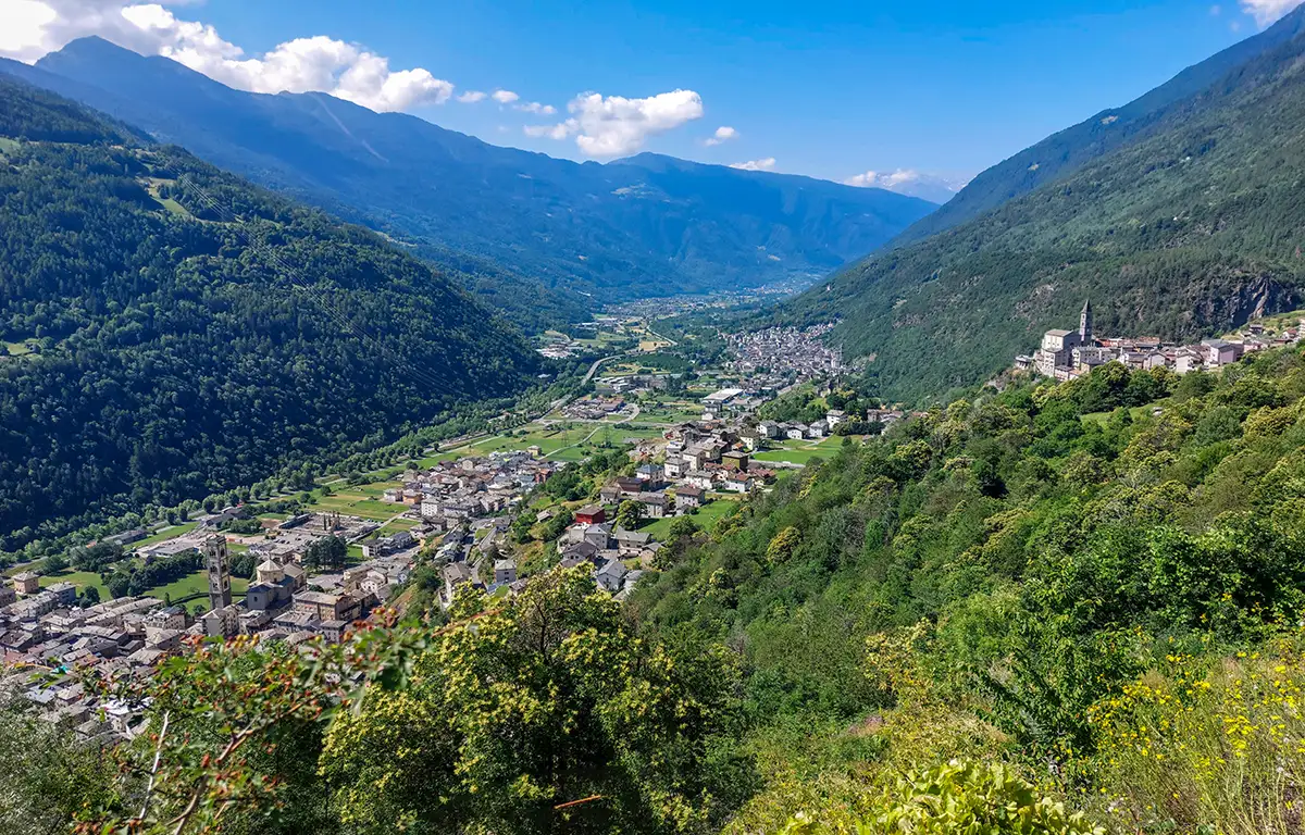
From Bormio, take the Valtellina path down to Grosio. Then take the Ravoledo direction and begin to climb in Val Grosina.
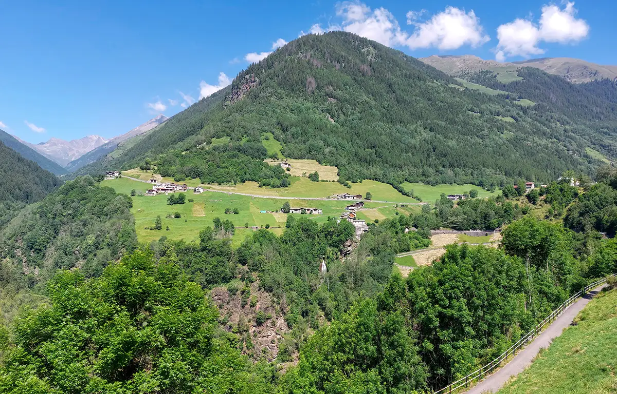
The climb up to Fusino is pleasant and not too demanding.
From Fumero the road is much steeper, but the panorama fully repays the effort made.
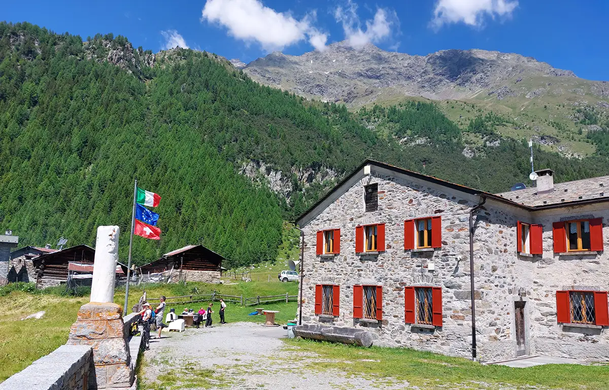
In Eita, you can refresh yourself in the refuge located next to the church.
The return to Bormio is expected on the way back with the possibility of following the busy state road or the Valtellina path.
This trail has been viewed 7815 times.