The trail map
The trail passes through: Cancano - Pedenolo - Bocchette di Forcola - Punta di Rims
Map and altitude:Full screen map


Scroll the altimetry to see the point on the map.
Trail description
The climb to Cima di Rims is pure poetry for lovers of extreme mountain biking.
Spectacular valleys, magical views and legendary trails are some of the things you can see on this route that is also suitable for e-bikes with very expert bikers.
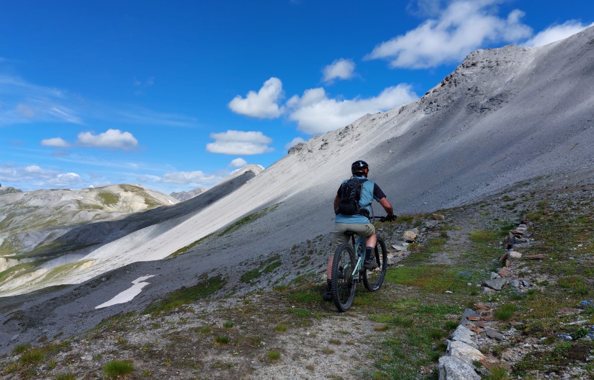
The first part of the climb is along the path that leads to Pedenolo, with very exposed hairpin bends magically drawn on the very steep mountain.
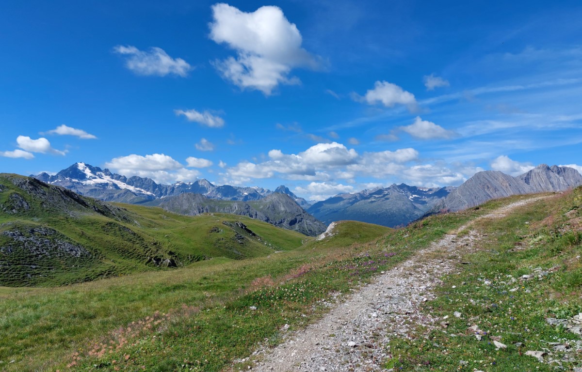
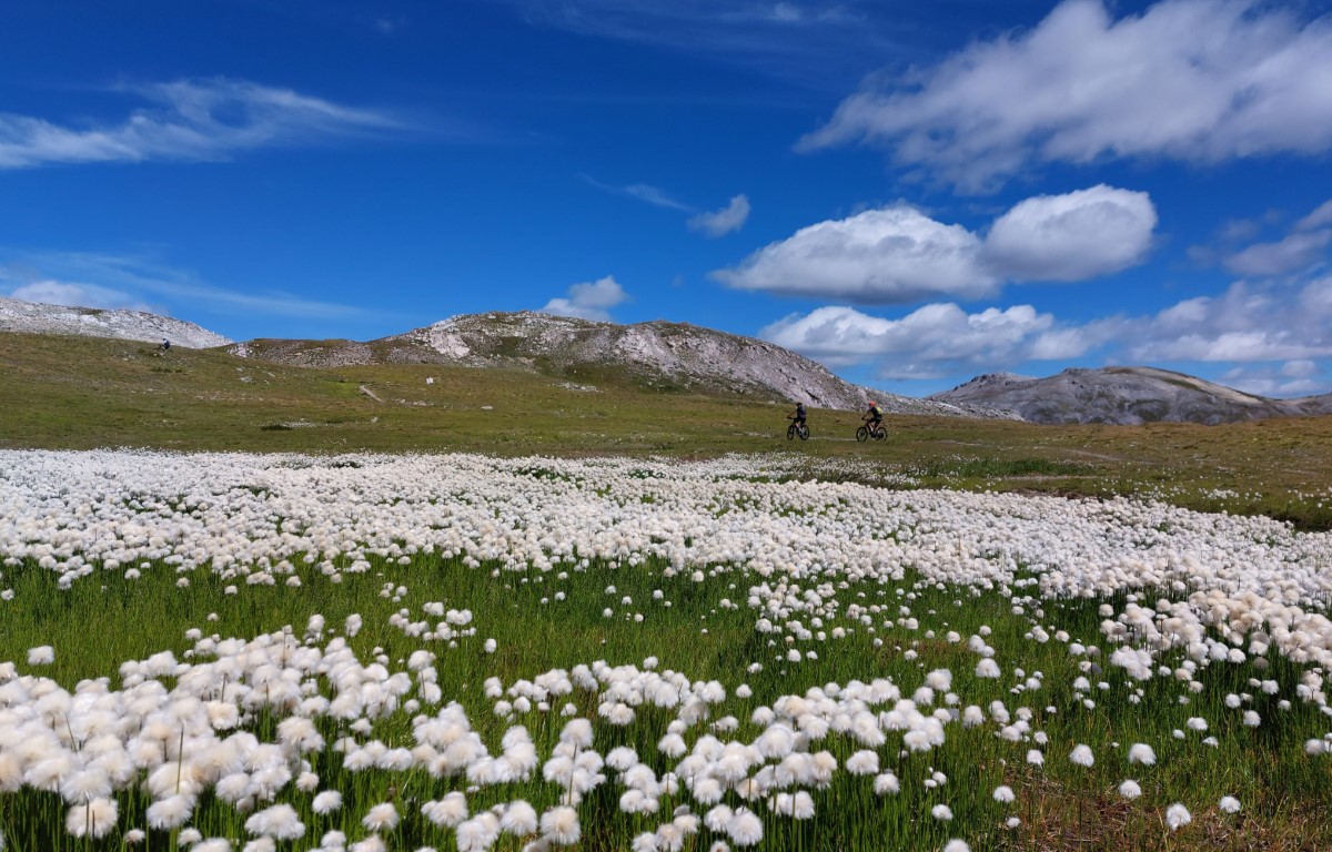
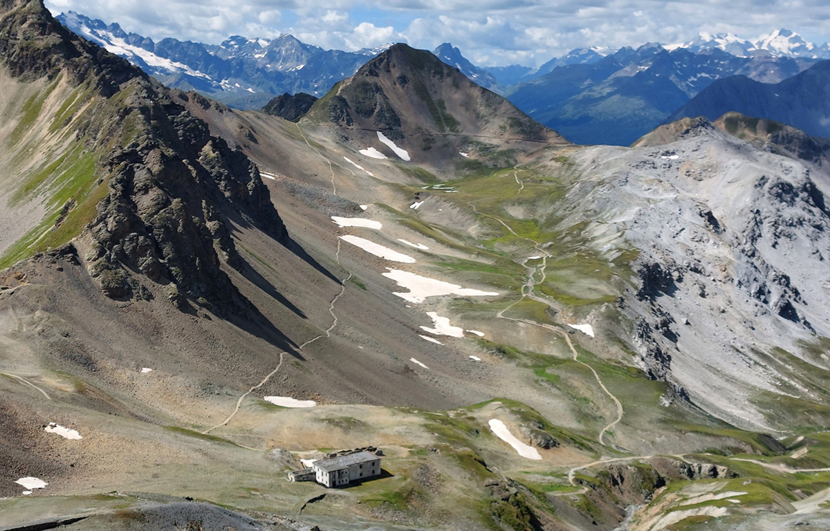
After the Pedenolo mountain hut the path becomes simple and you follow a dirt road that climbs along a valley of evergreen meadows, with flowers and marmots.
Once you reach the Bocchetta di Pedenolo the path becomes much more difficult and stony, which leads to the old barracks just below the Bocchette di Forcola.
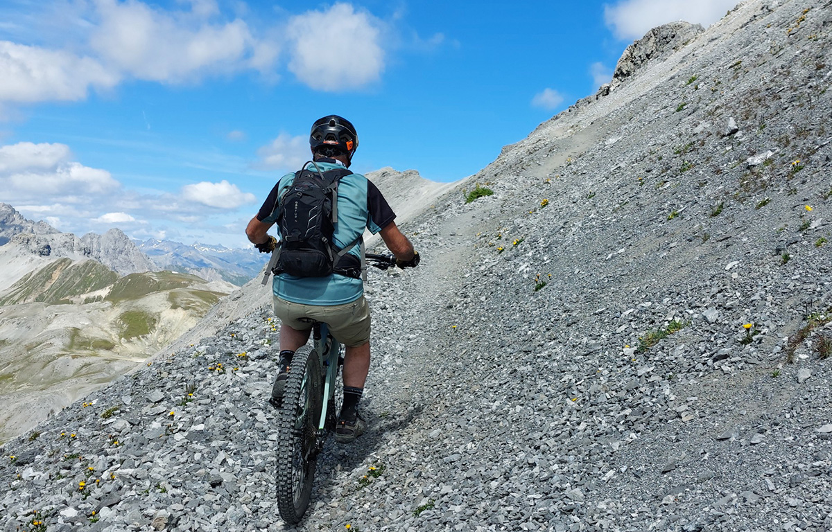
The last part of the climb is on an exposed and very gravelly path, where very often the only way to advance is by pushing or carrying the bike.
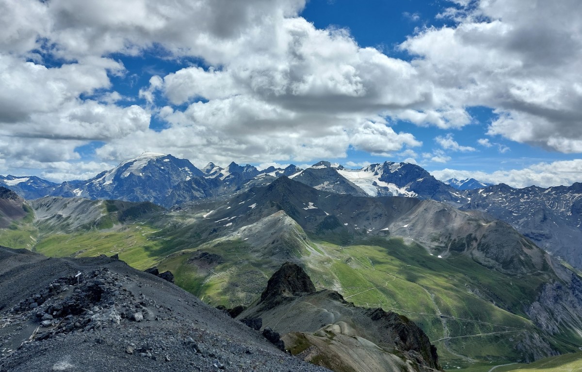
At the top the view is breathtaking: the view of the Stelvio Pass and its ski slopes on the right, the beauty of the Rims lake on the left and the entire Pedenolo valley and the Val Forcola behind us.
The descent can be done on the outward route, from Val Forcola or by descending to the Umbrail Pass.
This trail has been viewed 860 times.
