The trail map
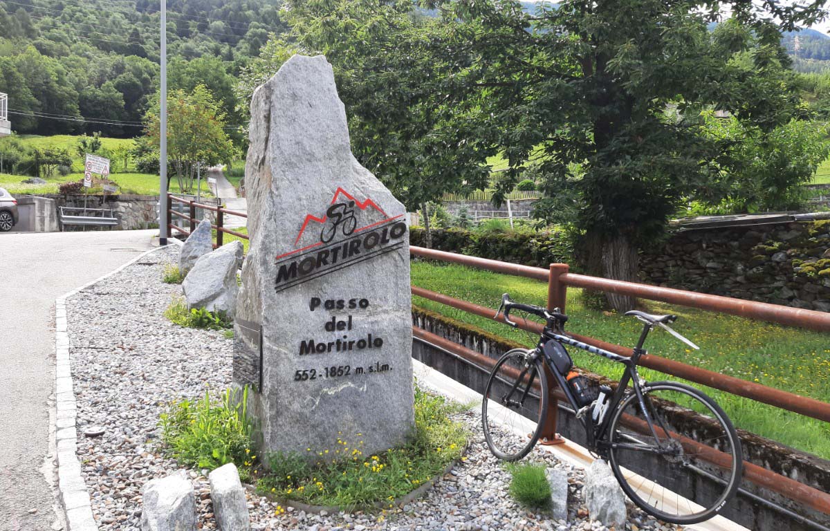
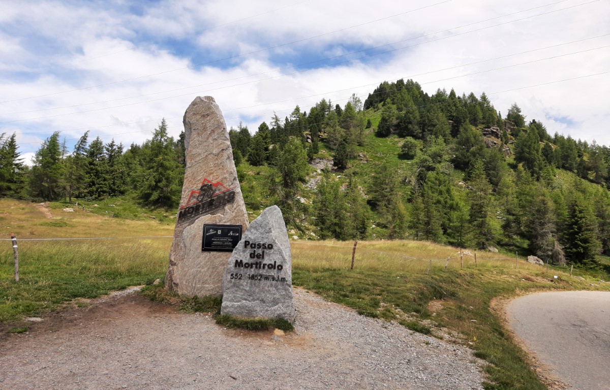
The trail passes through: Mazzo di Valtellina - Passo della Foppa (Mortirolo)
Map and altitude:Full screen map
Scroll the altimetry to see the point on the map.
Trail details
| Distance | |
| Total distance: | 11,91 km |
| Distance of Climbing: | 10,93 km |
| Distance of Descent: | 0,5 km |
| Distance of Flat: | 0,48 km |
| Elevation Change | |
| Min elevation: | 543 m |
| Max elevation: | 1848 m |
| Total ascent: | 1399 m |
| Total descent: | 92 m |
Scan the QR code with your smartphone and bring the data of this trail with you.

Trail description
The ascent to Mortirolo from Mazzo di Valtellina (Passo della Foppa) has been the scene of great challenges, ever since it was discovered by the Giro d'Italia in 1991. It then became famous for the exploits of Marco Pantani. In 2011 it also became part of the long course of the Granfondo dello Stelvio.
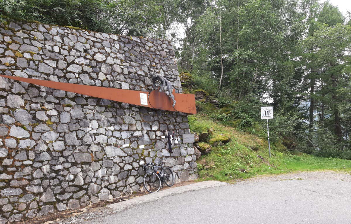
According to many, it is the toughest climb in Europe. Due to its hardness, the prohibitive slopes (max 18%) and the length, the climb to Mortirolo has become a challenge that every cyclist would like to face.
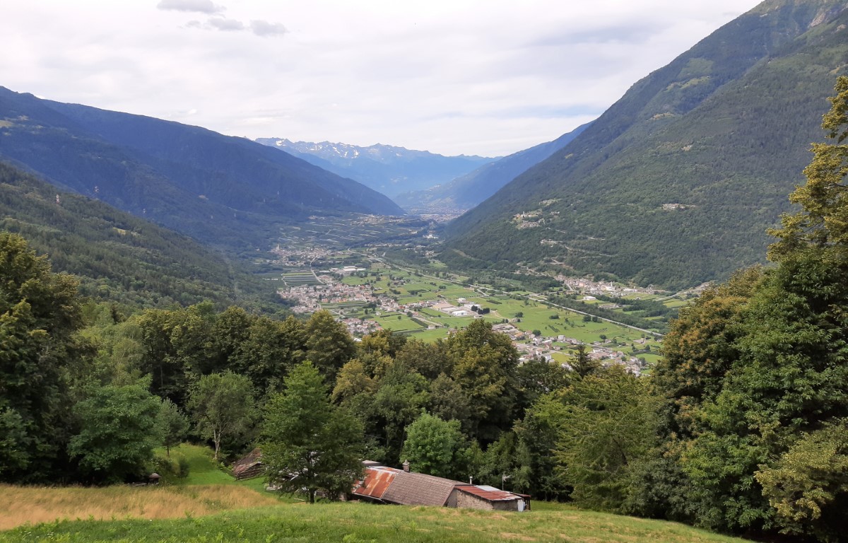
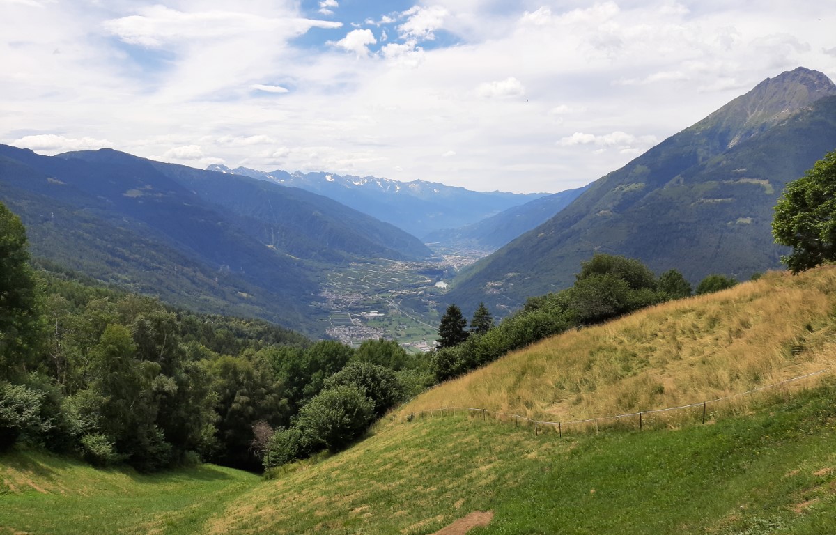
It starts from the village of Mazzo in Valtellina for the most classic of the Mortirolo climbs. We set off immediately with very demanding slopes, which never let up for the first 5 km.
After which the road becomes a little less tough, but it always lasts up to the pass, where you can find a structure indoors to change.
This trail has been viewed 6668 times.