The trail map
The trail passes through: Bormio - Le Prese - Sentiero Valtellina - Galleria - Bormio
Map and altitude:Full screen map
Scroll the altimetry to see the point on the map.


Trail details
| Distance | |
| Total distance: | 36,16 km |
| Distance of Climbing: | 13,8 km |
| Distance of Descent: | 17,28 km |
| Distance of Flat: | 5,09 km |
| Elevation Change | |
| Min elevation: | 949 m |
| Max elevation: | 1338 m |
| Total ascent: | 758 m |
| Total descent: | 756 m |
Scan the QR code with your smartphone and bring the data of this trail with you.

Trail description
A simple circular route, near Bormio, for half a day to unload.
It starts from Bormio in the direction of Tirano, until reaching the town of Le Prese on the old state road.
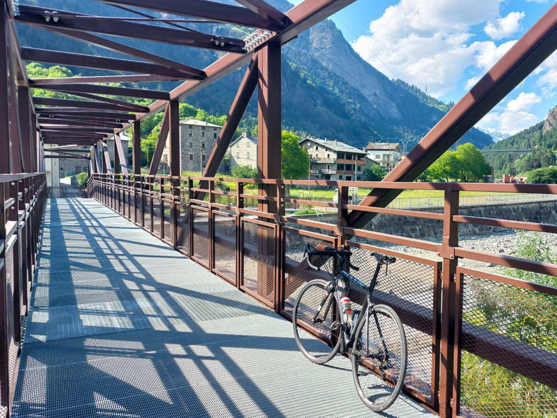
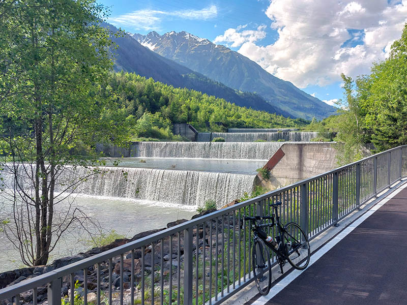
Reverse the direction of travel and return towards Bormio along the Sentiero Valtellina (the cycle path at the bottom of the valley that leads from Bormio to Lake Como). You cycle to the Aquilone location
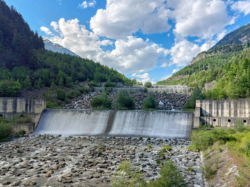
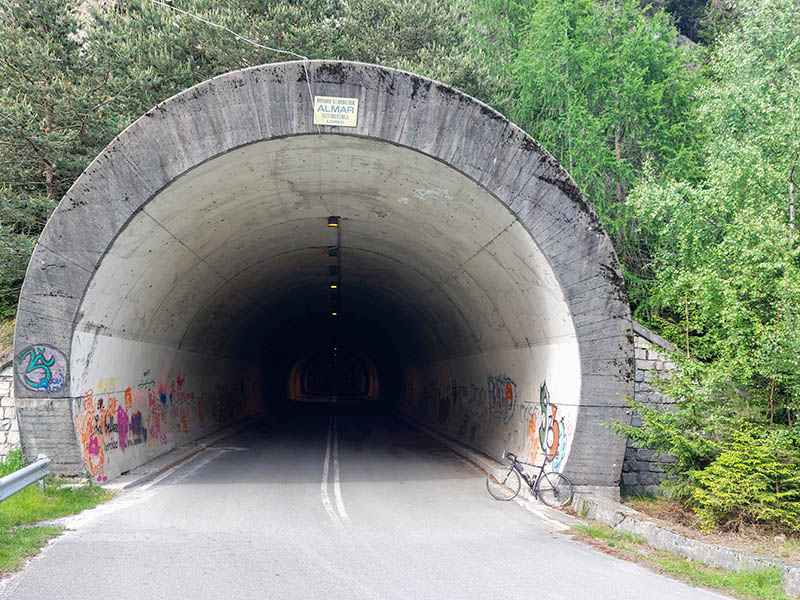
You return towards the landslide, but then turn left and go uphill which leads you along the old track created at the time of the Val Pola landslide. Be careful of the tunnel which must be climbed slightly uphill and out of season it is completely dark.
The return to Bormio is still on the outward road or on the Valtellina path.
This trail has been viewed 4250 times.