The trail map
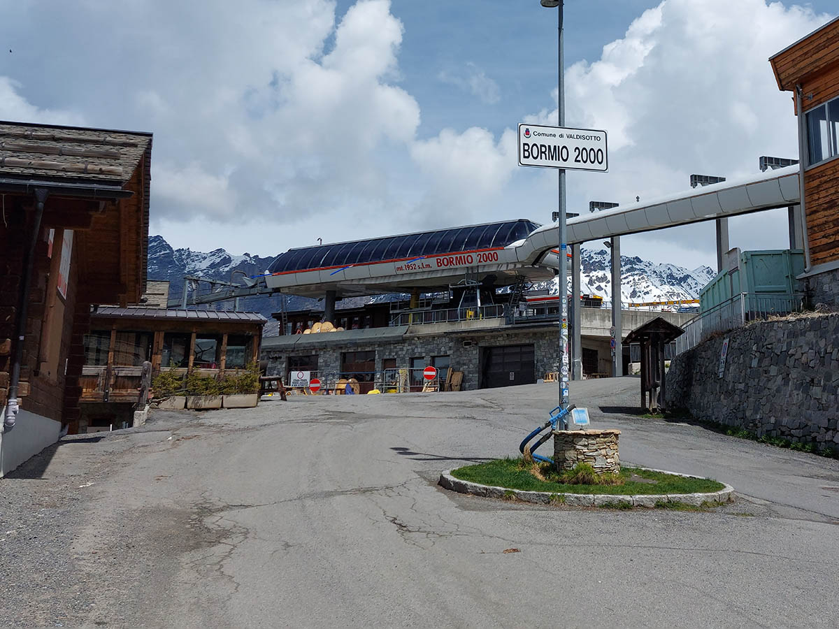
The trail passes through: Bormio - Bormio 2000 - Bormio
Map and altitude:Full screen map
Scroll the altimetry to see the point on the map.


Trail details
| Distance | |
| Total distance: | 9,93 km |
| Distance of Climbing: | 8,09 km |
| Distance of Descent: | 0,53 km |
| Distance of Flat: | 1,31 km |
| Elevation Change | |
| Min elevation: | 1197 m |
| Max elevation: | 1934 m |
| Total ascent: | 756 m |
| Total descent: | 0 m |
Scan the QR code with your smartphone and bring the data of this trail with you.

Trail description
The climb from Bormio to Bormio 2000 is all on asphalt.
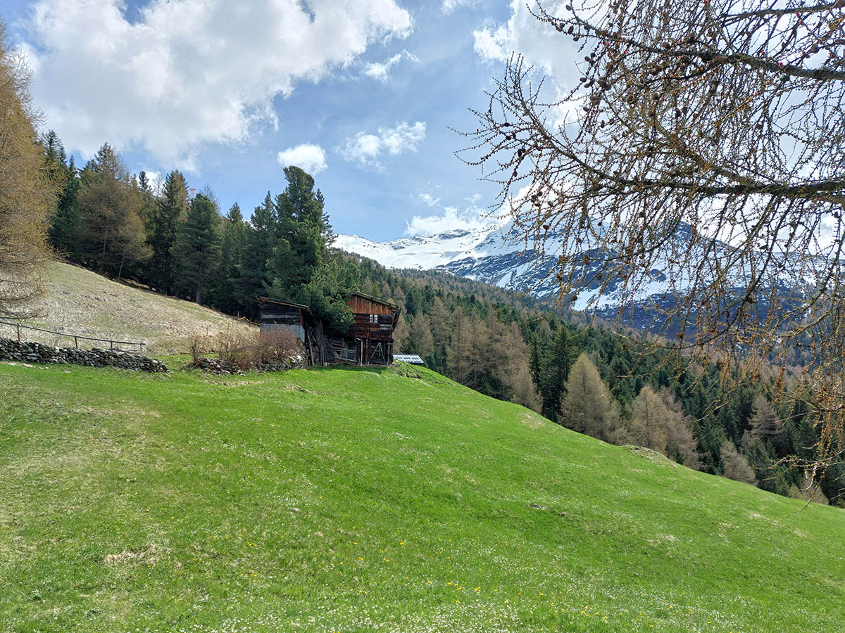
Through a series of switchbacks, which allow you to gain altitude very quickly, you can enjoy a splendid panorama of Bormio and the Valdidentro. The slope is always regular and pedalable, apart from the stretch of S. Pietro (about halfway up) where the effort required is very high to overcome 350m at the maximum slope of 14%.
The return is on the way.
This trail has been viewed 8506 times.