The trail map
The trail passes through: Tirano - Tresenda - S. Giacomo - Montagna - Sondrio
Map and altitude:Full screen map
Scroll the altimetry to see the point on the map.


Trail details
| Distance | |
| Total distance: | 31,56 km |
| Distance of Climbing: | 5,22 km |
| Distance of Descent: | 13,61 km |
| Distance of Flat: | 12,73 km |
| Elevation Change | |
| Min elevation: | 285 m |
| Max elevation: | 435 m |
| Total ascent: | 121 m |
| Total descent: | 0 m |
Scan the QR code with your smartphone and bring the data of this trail with you.

Trail description
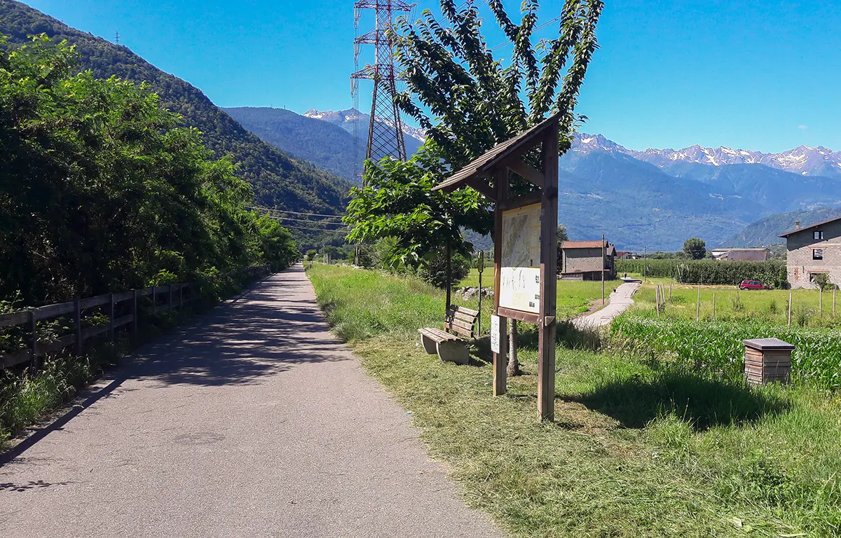
The Sentiero Valtellina is the cycle path that leads from Bormio to Lake Como (Colico).
This is the description of the second section, which leads from Tirano to Sondrio.
A simple cycle-pedestrian path that accompanies the flow of the waters of the Adda river is fun and immersed in the nature of the valley floor along a long stretch of the Valtellina.
On the way you will come across small urban centers and areas equipped for various physical exercises. There are: pump tracks, roller and skate tracks and fitness trails.
You go along a paved road, completely dedicated to bicycles and pedestrians, passing by old farmhouses, orchards and small villages.
This trail has been viewed 1954 times.