The trail map
The trail passes through: Santa Maria - Passo Umbrail
Map and altitude:Full screen map
Scroll the altimetry to see the point on the map.
Trail details
| Distance | |
| Total distance: | 14,2 km |
| Distance of Climbing: | 12,07 km |
| Distance of Descent: | 0,2 km |
| Distance of Flat: | 1,93 km |
| Elevation Change | |
| Min elevation: | 1377 m |
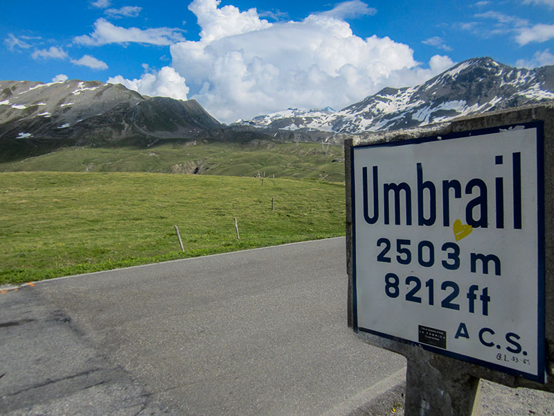
| Max elevation: | 2501 m |
| Total ascent: | 1143 m |
| Total descent: | 20 m |
Scan the QR code with your smartphone and bring the data of this trail with you.

Trail description
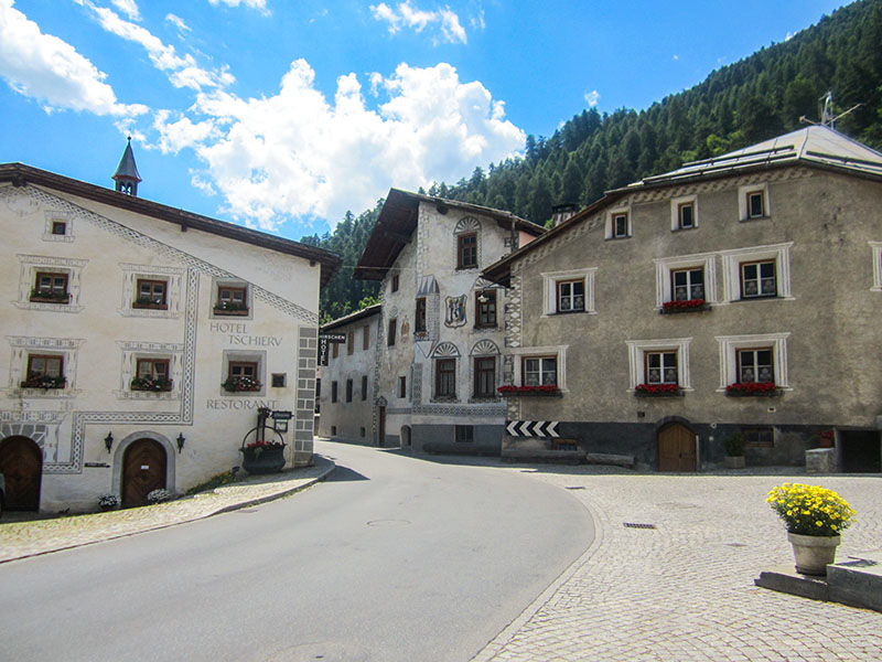
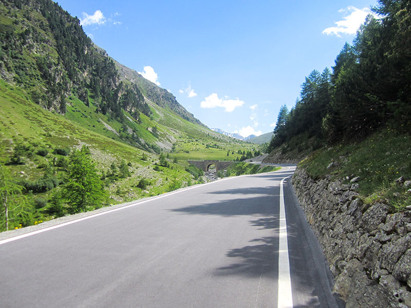
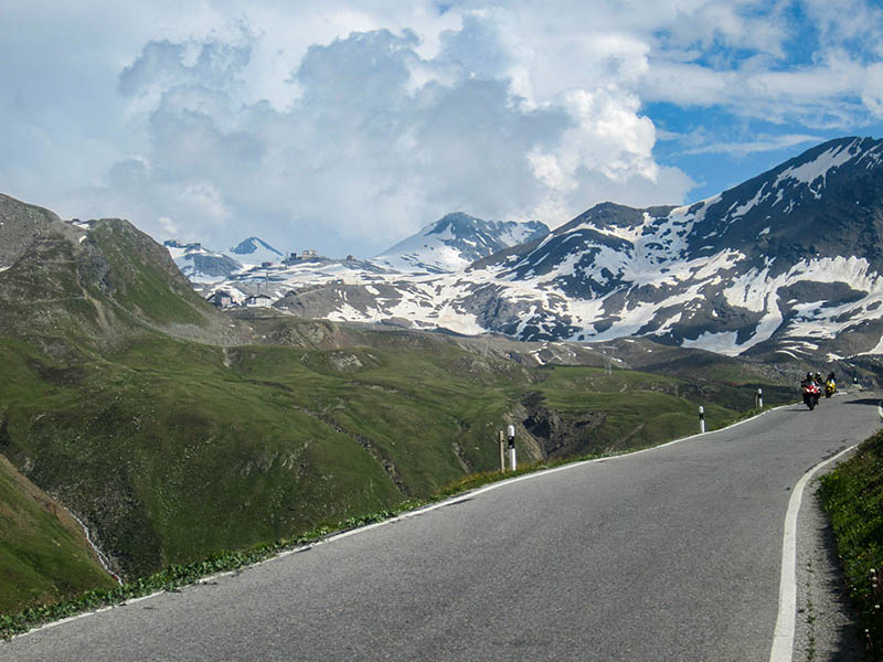
The ascent to the Umbrail Pass starts from Santa Maria (in Switzerland), an alternative to reach the Stelvio Pass, from the Swiss side. Beautiful climb, very steep in the first section, which crosses an uncontaminated valley with no vegetation.
This trail has been viewed 3156 times.